Valehouse + Rhodeswood Reservoirs 4-Mile Circular
Easy
2 Hours
4 Miles (6.4km)
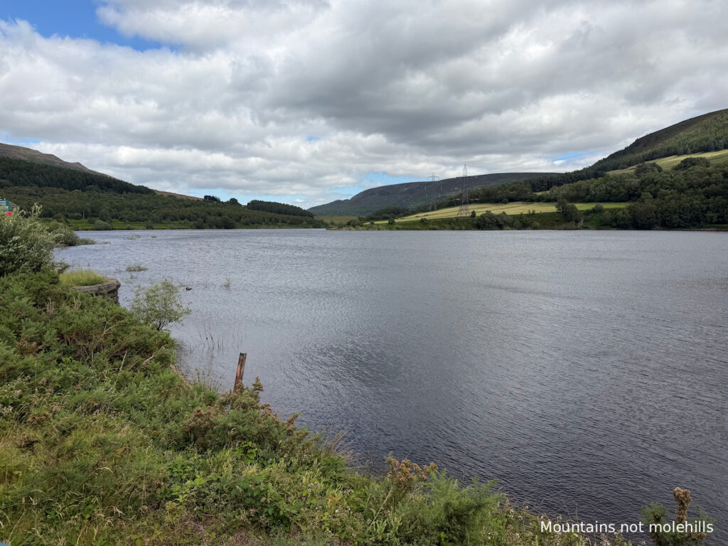
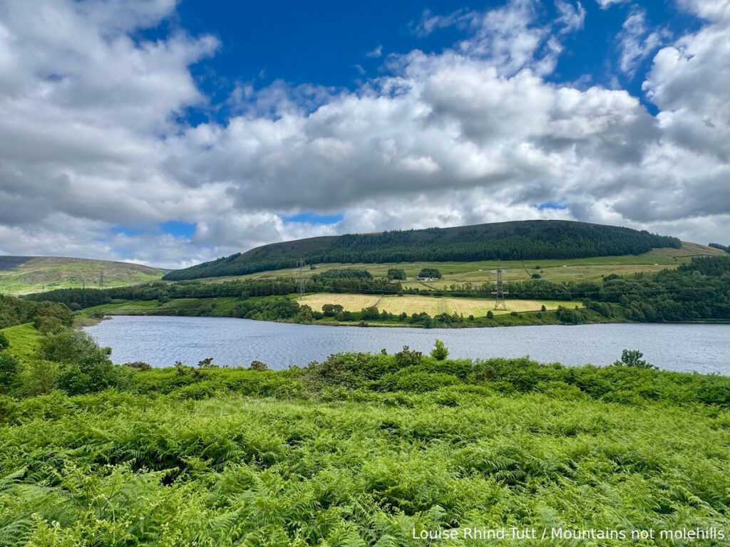
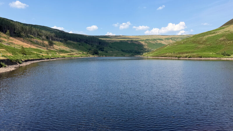
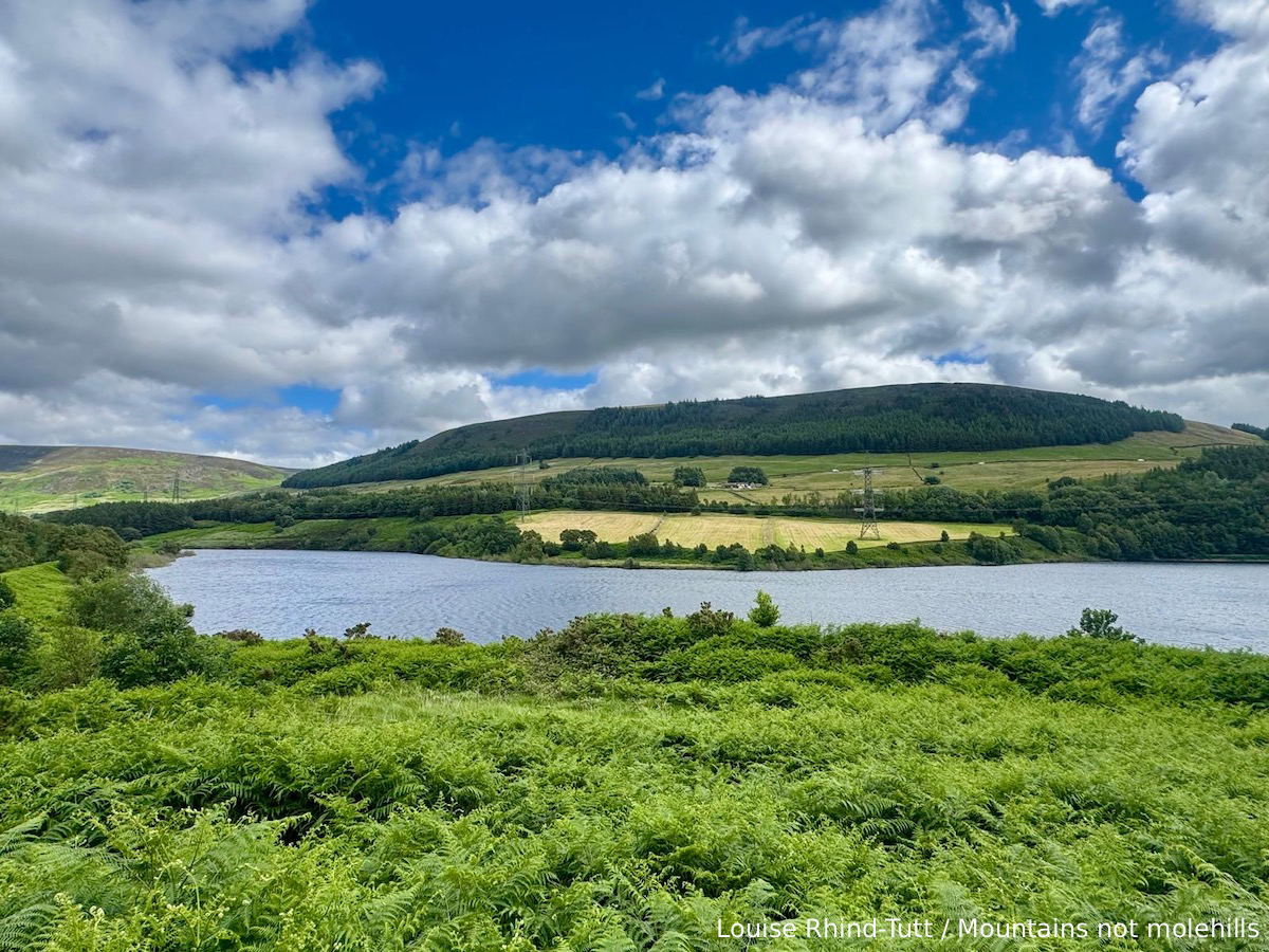
Tintwistle is a small village, one you might barely notice driving through towards Woodhead Pass. Home to a series of reservoirs, this area is a must for those looking for a bit of time out in nature, with beautiful views and minimum effort. It is the perfect destination for dog walkers and families with young children. Pick a walk based on your needs, a circular of Bottoms reservoir for example will take you under an hour, but couple that with Valehouse and or Rhodeswood reservoirs and you could have a three hour outing in one place.
Those who do know this little village, also know its amazing history. One of the most fascinating stories about the area is that an entire settlement was lost beneath Valehouse Reservoir. The hamlet of Vale House contained cottages, a school, a gasworks and the pioneering Vale House Mill, originally built in 1775 by industrialist Samuel Oldknow. When Manchester Corporation acquired the land, the village was cleared and flooded.
Perhaps the most memorable local legend concerns the mill chimney that remained standing above the newly flooded reservoir. Known as the “Whispering Chimney”, it reportedly produced eerie sounds during strong winds. This mix of history and beauty make this Valehouse + Rhodeswood reservoirs walk perfect for families.

Hiking For A Healthier Mind – Wellbeing walk ratings
| Wellbeing Factor | Rating |
|---|---|
| Quietness | ⭐️⭐️⭐️ |
| Scenic Views | ⭐️⭐️⭐️ |
| Stress relief | ⭐️⭐️⭐️⭐️ |
| Physical Challenge | ⭐️⭐️ |
| Accessibility | ⭐️⭐️⭐️⭐️ |
Best for: Clearing your head and gathering thoughts on a gentle easy circular around the reservoirs.
🌤️ Know Before You Go 🌤️
Car Park: Valehouse Reservoir Dam
What3Words: ///exonerate.actors.cracks
Public Transport: Closest train station is Hadfield.
Total Ascent: 549ft Total Descent: 508ft
Terrain: Mostly well defined paths, there are sections that are grassy or uneven and could be tricky for a pushchair.
Public Toilets: No – there are no public toilets available along this route.
Family Friendly: Yes – but there are some sections that are grassy or uneven so could potentially be difficult with a pram or pushchair.
Dog Friendly: Yes – however, be aware that there is livestock in the area so dogs should be kept on a lead.
Always check weather forecasts before travelling. This is particularly useful in hot weather as this is a moorland area and is therefore at risk of wildfires. There was actually a wildfire several weeks before we visited a little further along near Woodhead Pass.
Scramble Grade: None
Met Office Mountain Forecasts
Mountain Weather Information Service (MWIS)
Valehouse + Rhodeswood reservoir route description
Stage 1
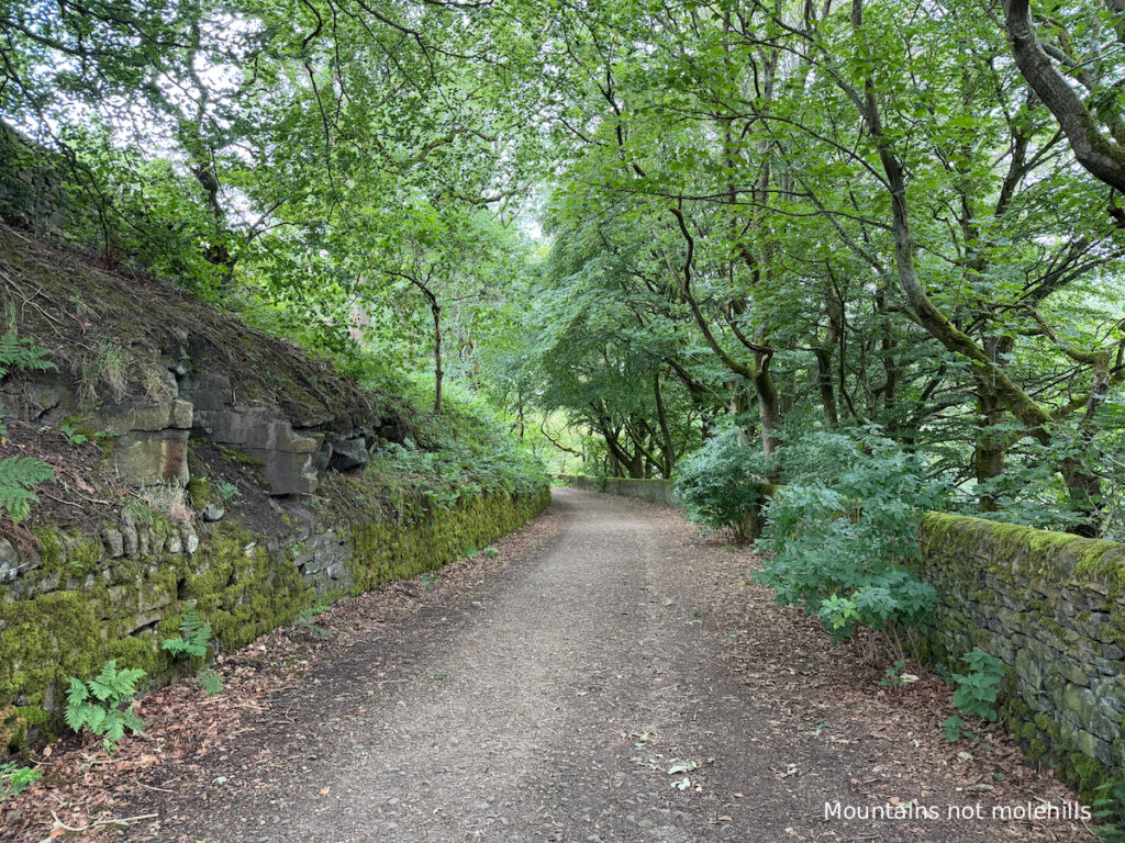
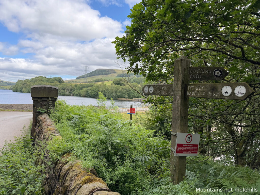
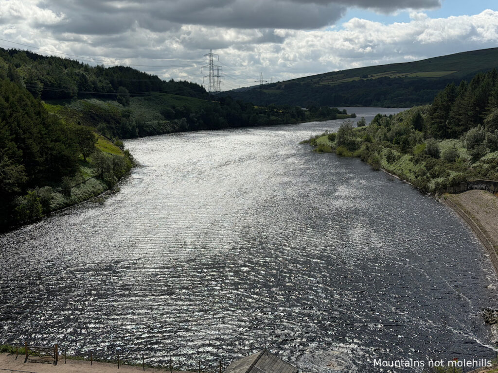
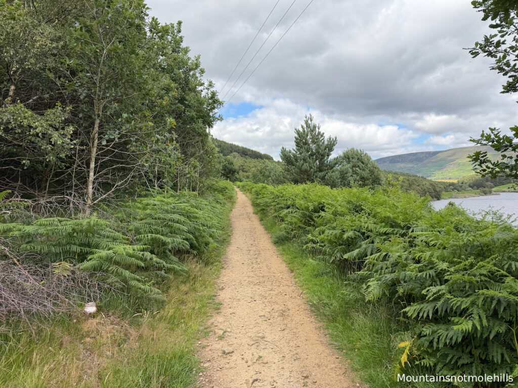
Park at Valehouse Dam car park (this is free but space is limited – so arrive early is the best advice). Cross back over and follow the path around to the right, leaving Bottoms reservoir behind you and Valehouse to your right. This well-made path through a wooded area will eventually lead you up towards the top of the dam. Follow the path as it winds up to the reservoir road.

Stage 2
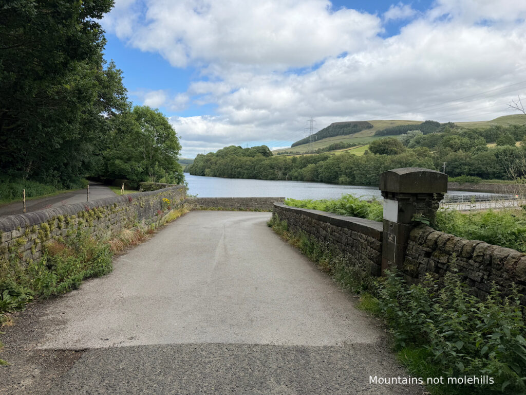
At the road, turn left and then take your first right. This leads down a narrower stony path with vegetation encroaching from either side. Eventually you reach a gate; go through the gate and follow the road downwards towards the house on your right. Continue past and the road takes you across Rhodeswood Reservoir (this is very exposed so can get quite windy).
Stage 3

At the other side, take a right through the gate and follow the path going back in the direction you came. Eventually there is a slight fork; both the left and right paths take you to the same place. The path to the left leads through a more wooded area and brings you through a field and back down to a road which takes you past a farm. Note – if you take this path through the field there is a sign stating ‘sheep in field – no dogs”. The second path takes you down and around to the road with no need to enter the farmer’s field.
Stage 4
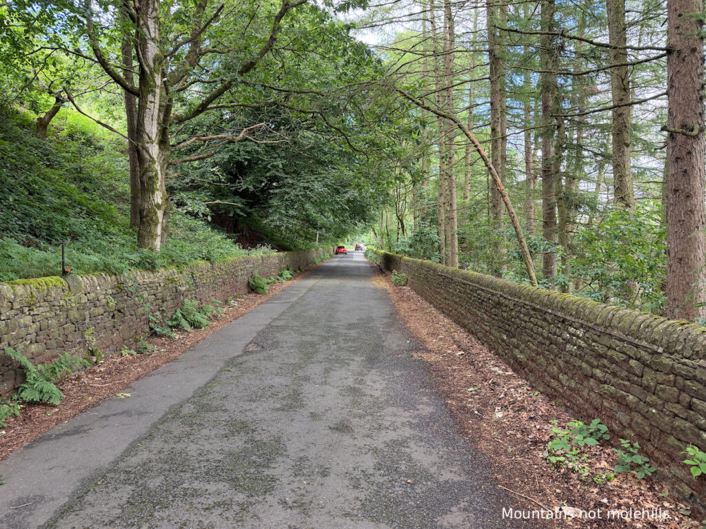
Back on the road, walk past the farm and follow the road along. Shortly there is a turn to your right (look out for a small bench). Take the right turn and follow the path back through a wooded area, and you will soon return to the car park where you started.
Got the OS Map App? Follow the route by clicking the link below.
Where to eat and drink after
Leaving the reservoirs as you reach the main road turn left back onto the A628 (Woodhead Road) and a few hundred yards down the road there is a tight right turn onto Old Road. Follow the road up (it is tight and parking is limited) and the Bulls Head is on your right.
A characterful 16th-century boozer serving real ales and amazing home cooked food. The shepherd’s pie made with High Peak lamb (£14.25) is a highlight. It is worth noting that being home-cooked, there is limited availability, so booking in advance and an early sitting will always be preferable, especially for groups.
*Please note prices correct at time of publishing*
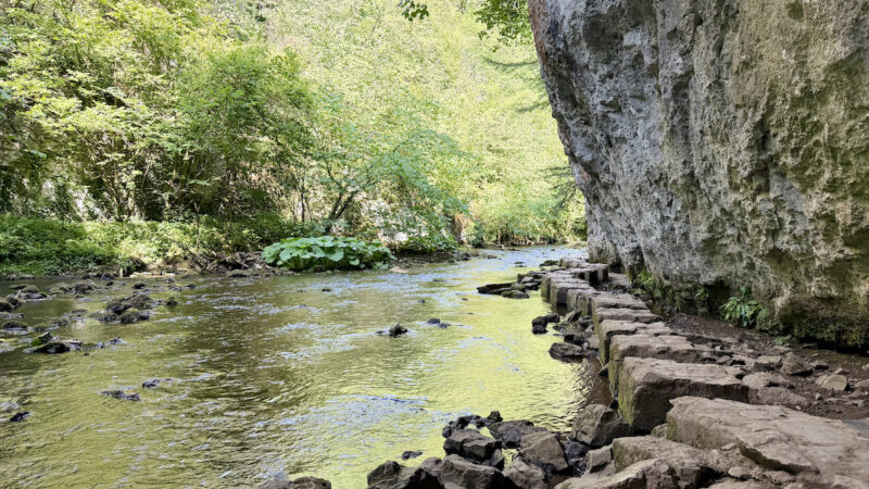
Pics from the peaks