Chee Dale From Millers Dale | 5 Mile Circular

Chee Dale Walk Overview
| 📏 Distance: 5 miles | ⭐ Difficulty: Moderate |
| ⏱️ Time: 2.5 – 3 hours | ⛰️ Elevation Gain: 1,174ft (358m) |
| 🧭 Route: Circular | 🐶 Dog Friendly: Yes (keep dogs on lead especially around livestock) |
| 👪 Family Friendly: Yes (older kids, not suitable for pushchairs as some scrambling involved) | 🥾 Terrain: Rocky and uneven, some scrambling in places, grass and mud |
| 🚻 Facilities: There is a cafe are public toilets at the start of the walk but they cost 50p to use. | 📍Start: What-3-Words: ///thighs.suddenly.tabs – Nearest postcode: SK17 8SN |
| 🗺️ OS Maps: Route available below | 🌿 Wellbeing Highlights: Stepping stone sections, lots of places to stop close to the water |
Chee Dale Route Summary
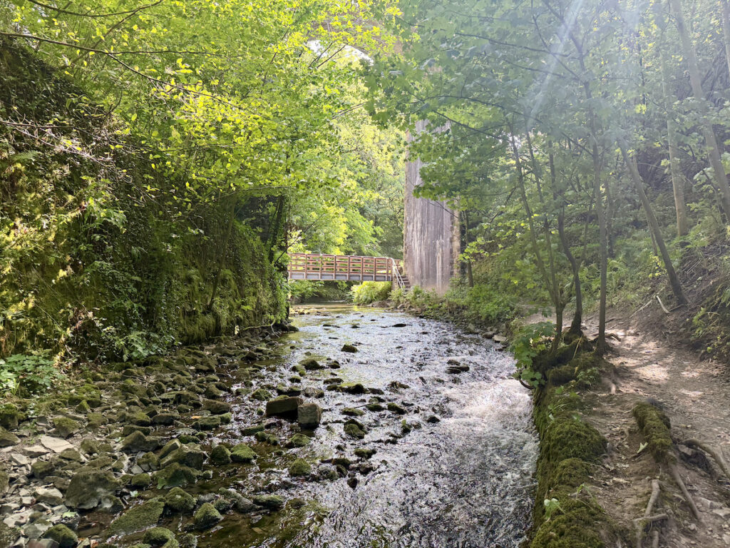
Chee Dale from Millers Dale is a great walk based in the White Peak area of the Peak District National Park. This 6-mile route starts off following the busy and popular Monsal Trail but shortly drops down next to the River Wye.
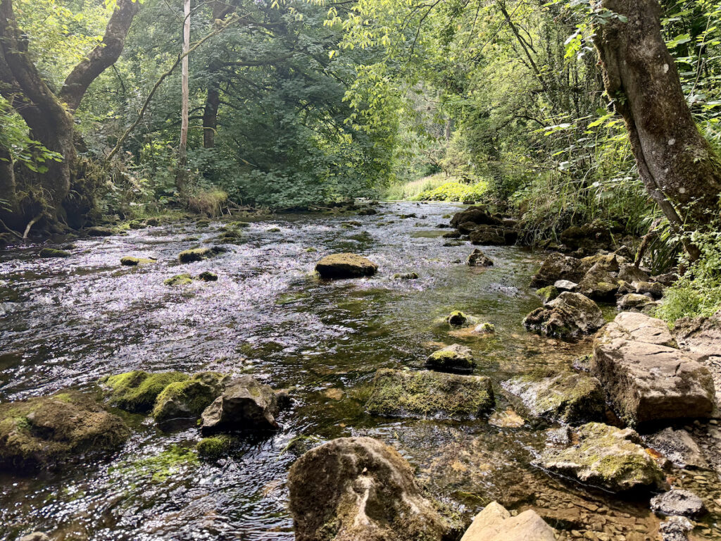
As always you definitely need to make sure you have the correct footwear on as the terrain can be rocky, muddy and slippery, especially during bad weather. The path can also get narrow as it hugs the river edge with plenty of bends and turns. Then comes the fun bit of Chee Dale stepping stones.
There are facilities available in the Millers Dale car park at the start of the walk, the toilets there cost 50p to use and take card. There is also a cafe serving refreshments. Once out on the walk though there are not any other places to stop.

Got the OS Map App? Follow the route by clicking the link below.
Chee Dale Route Description
Stage 1
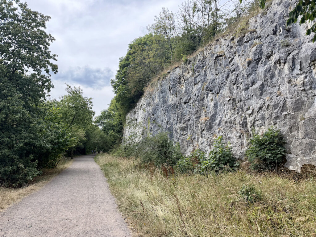
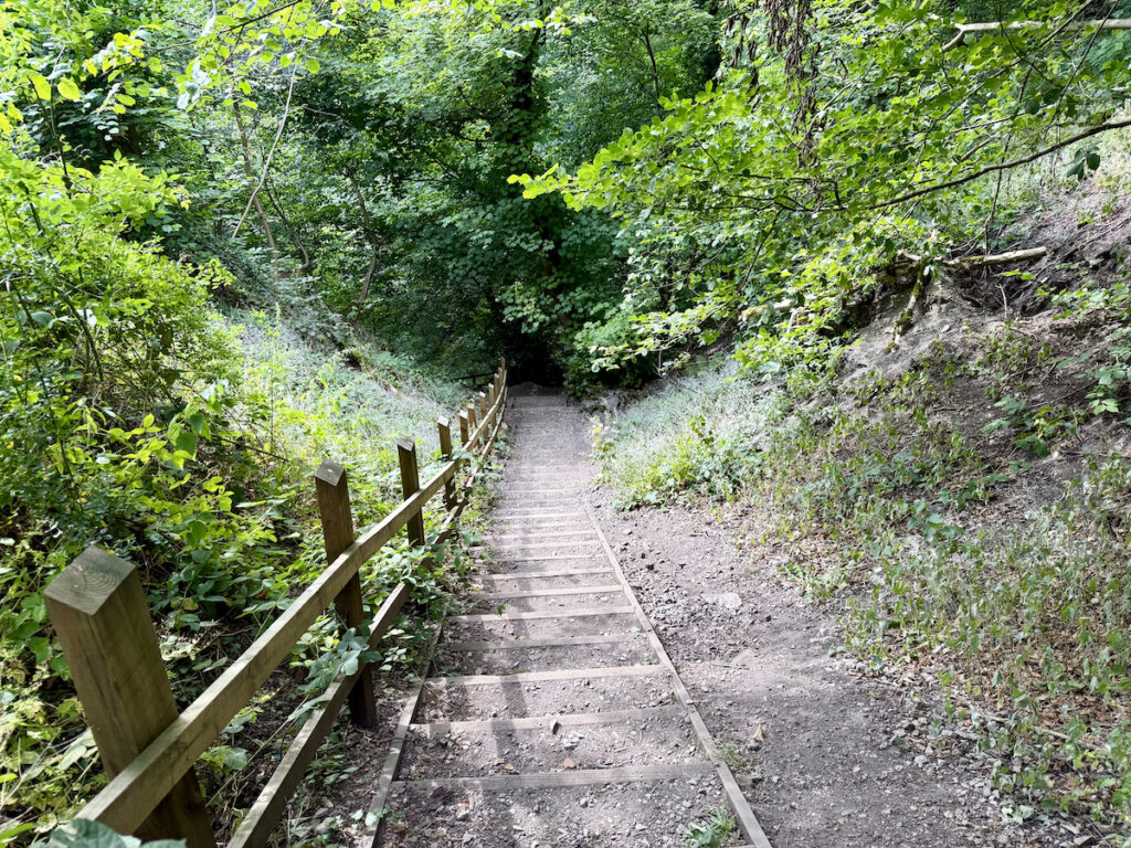
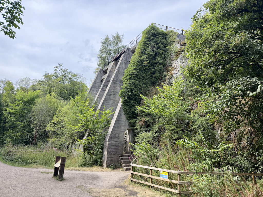
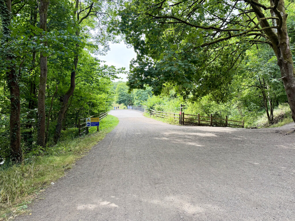
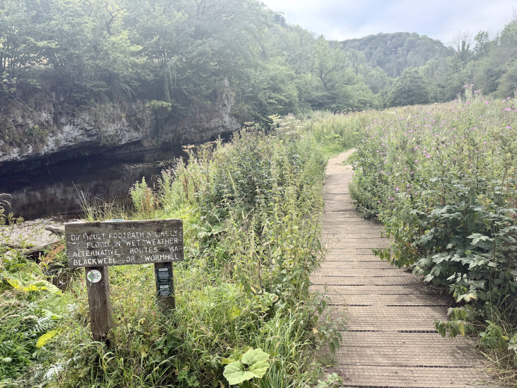
Walk through the car park and join the Monsal Trail path. This is a flat accessible path and is used by walkers, runners, cyclists, horse riders and wheelchair users — the route is popular so this section can be busy. It is a short walk along (you will pass the East Buxton Lime Kiln on your right) then just before you reach the bridge there are a set of steps on the right. Head down the steps to the River Wye and take a right along the path. Continue along the path and you soon reach a wooden bridge. Assuming you are completing this walk in good weather, continue straight along the wooden boardwalk. In bad weather it is possible you may need to divert across the bridge as there is a sign warning about flooding “Difficult footpath & likely to flood in wet weather. Alternative routes via Blackwell or Wormhill”.

Stage 2
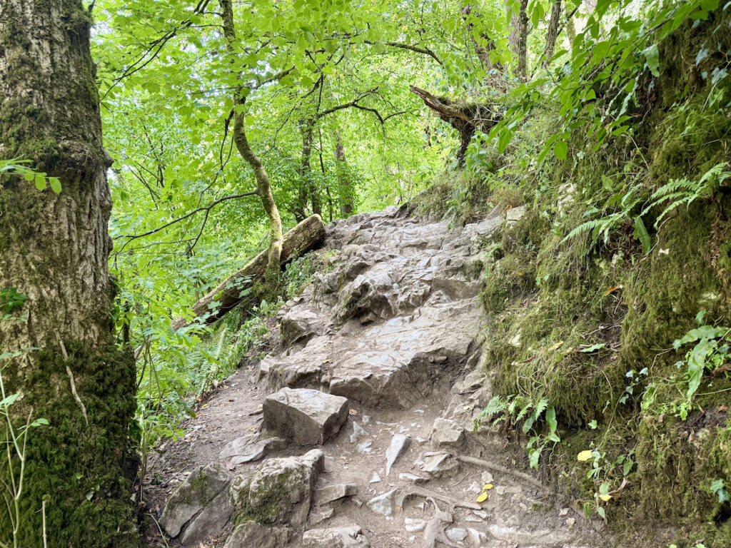
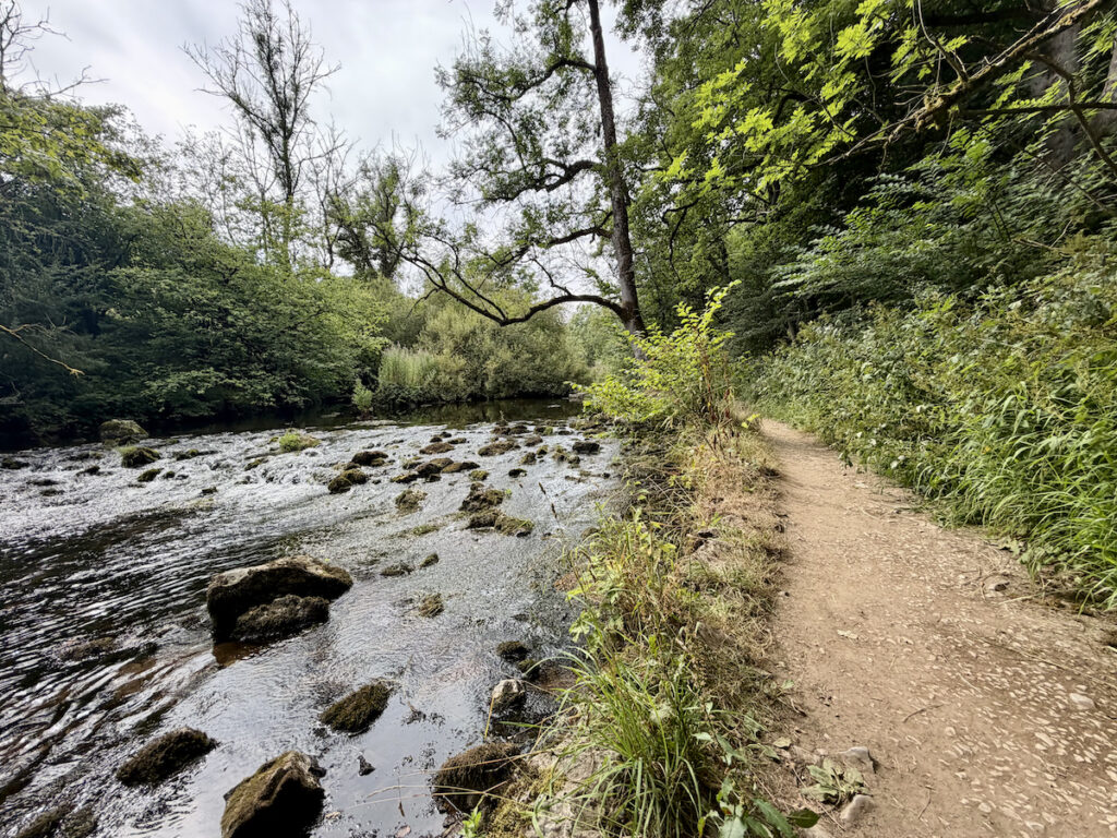
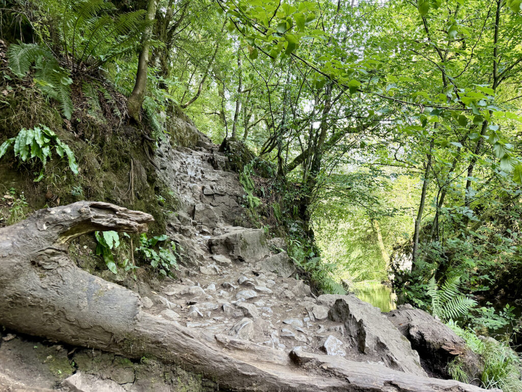
Continuing straight ahead, follow the path along — it is quite rocky for a lot of this section and the stone can be slippery so take care. Also those with shorter legs, like Louise, may well find themselves doing a bit of scrambling in this section of the walk. There was also a fair bit of tree debris which can possibly cause you to skirt around the edges or even climb over.
The path twists and turns but for the most part hugs the river edge, leading you away for a section to a wooden bridge. Cross the bridge, and there is another rocky section that you need to descend. Again those with shorter legs might opt for the “going down on your bum technique” that Louise loves to do.
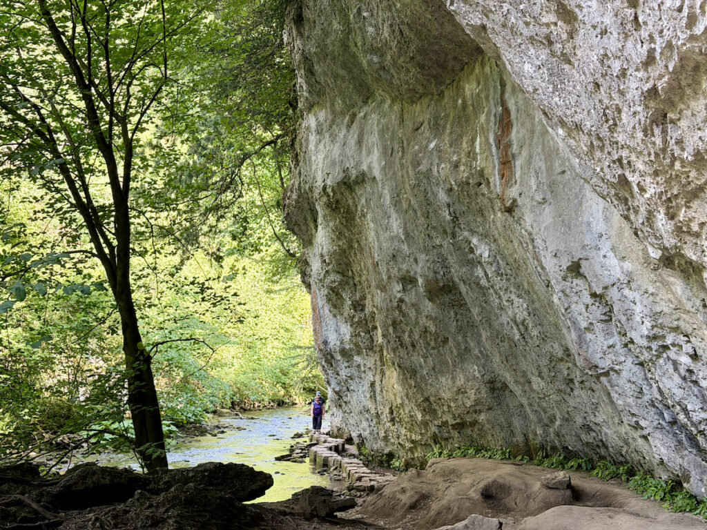
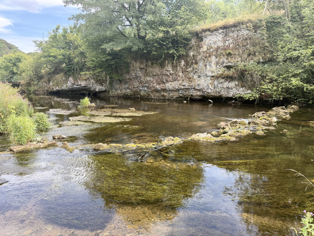
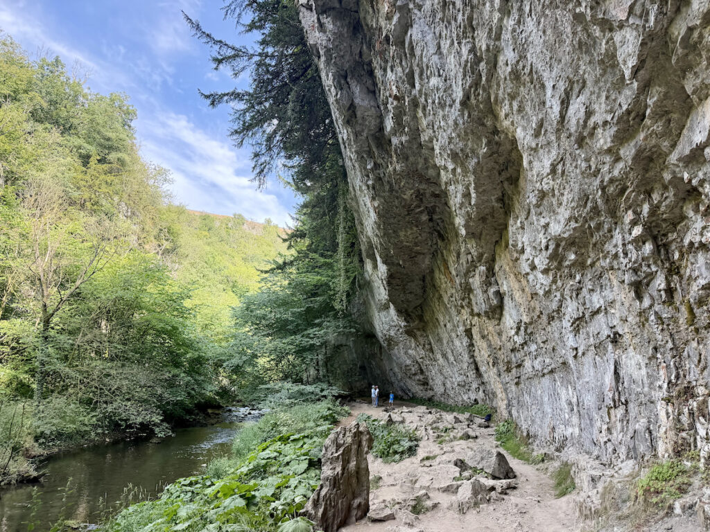
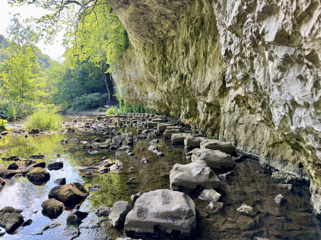
Following the path along, you reach the limestone cliffs, it is here that the only route across the river is the stepping stones. We visited in August 2026 following a spell of hot dry weather so the river level was low, following wetter weather expect a couple of the stones to be submerged.

Stage 3
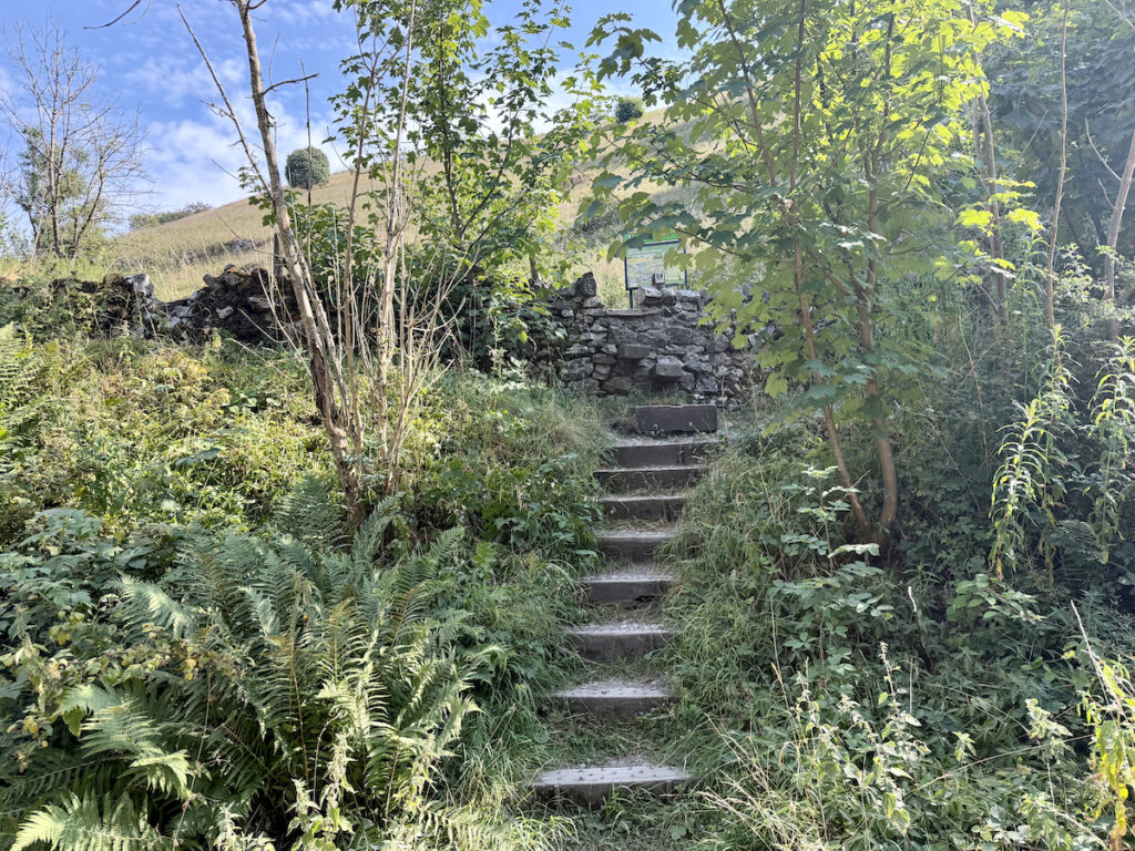
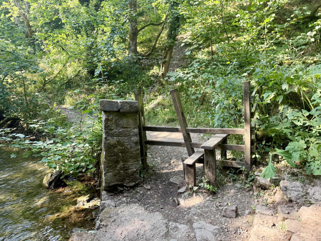
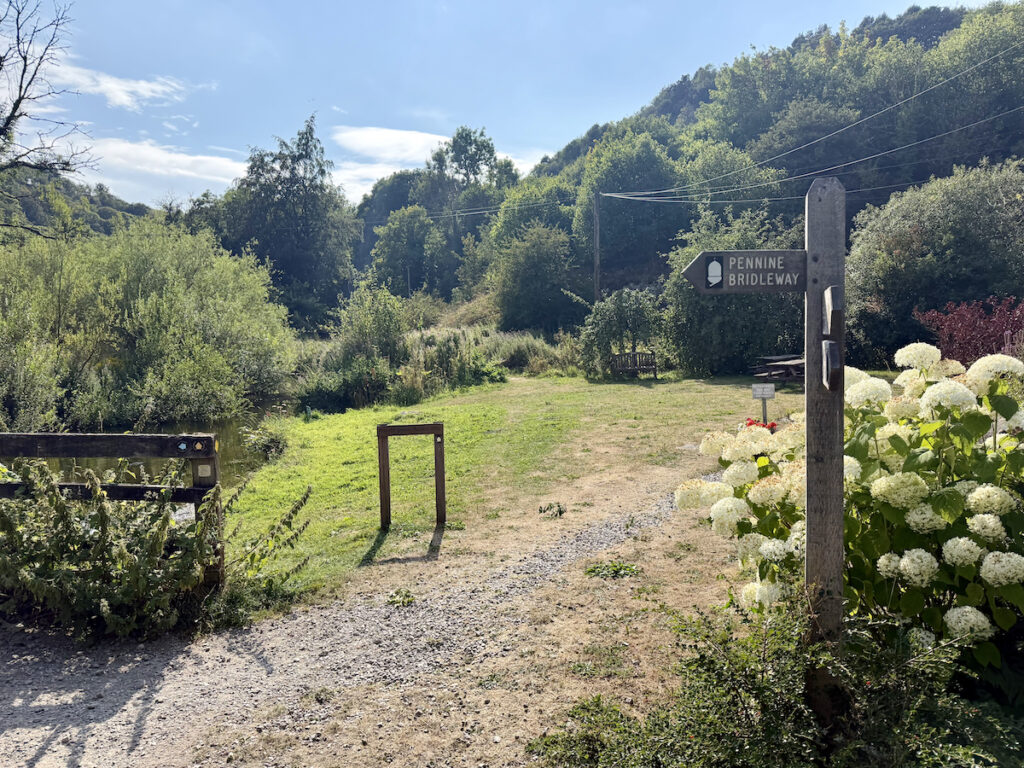
Continue along the path, shortly you will reach a second set of stepping stones to cross. Once across these you follow the path along over a bridge. Here there is a finger-post sign with Monsal Trail. to Blackwell Mill and Blackwell Mil as well as Millers Dale (the direction you have just come from). Continue along the path instead of going up the hill, then cross another bridge and you soon get to a stile. Head over the stile and continue along past some houses on your right and follow the finger-post sign for Pennine Bridleway.
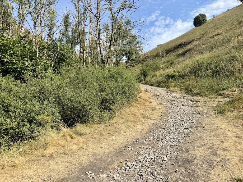
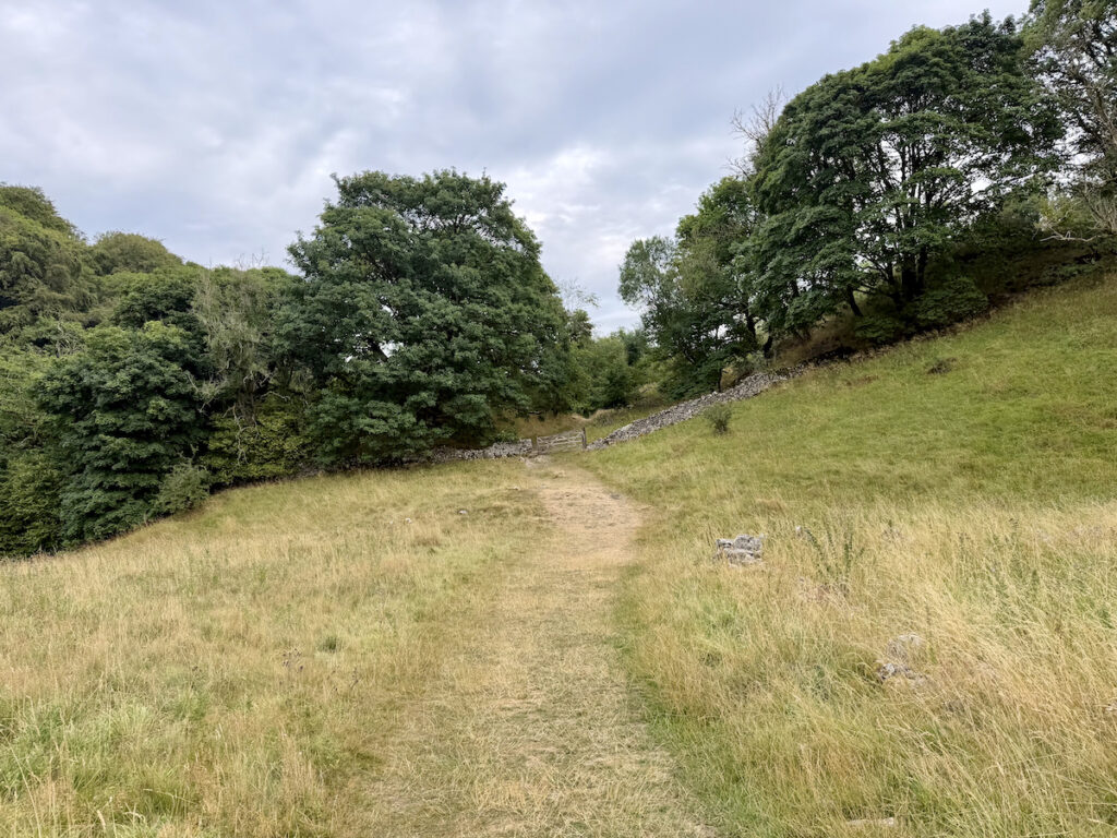
This path leads you back onto the Monsal Trail, we were tempted to cut the walk short here, due to the hot weather, and follow the trail back — this is a flatter and slightly shorter route. Instead we decided to crack on with the full route. As you come out onto the trail, there are a set of steps ahead of you. Go up the steps and you start a climb up towards the A6. Just before you reach the A6 there is a gate with a pond to your left. Go through the gate and take a left.
Stage 4
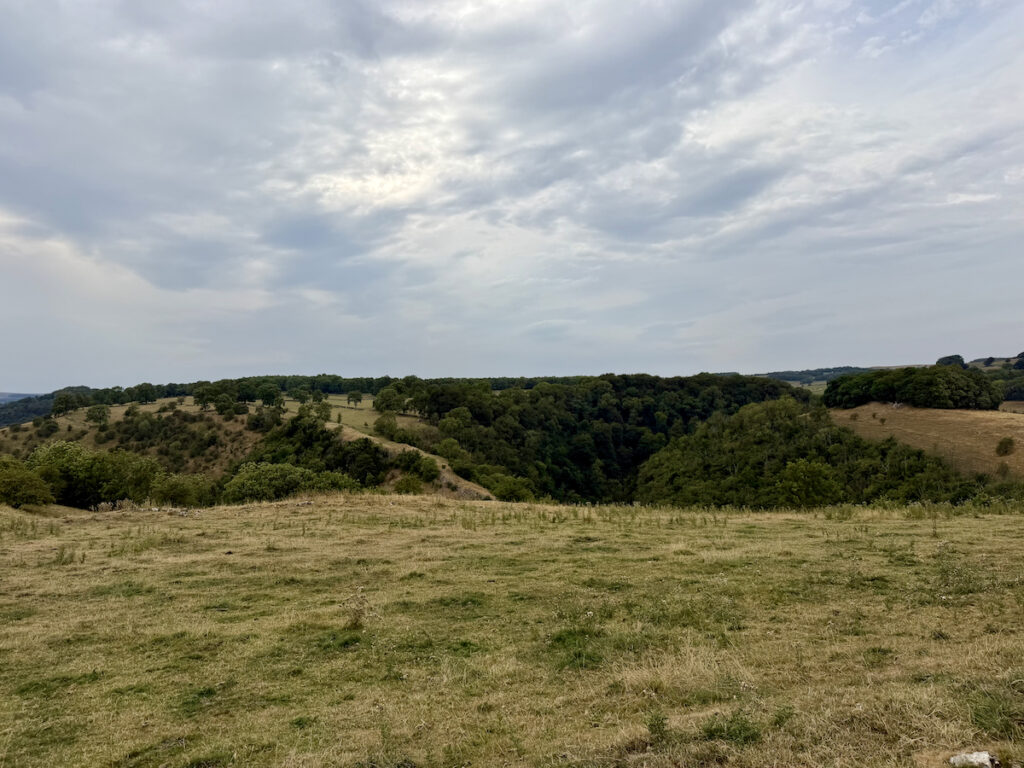
The route then takes you through several fields and gates before bringing you out at the main road. Here it is a short walk down the road, you will pass a camp site on your left. There was a sign stating the toilets were for customers only here but also that non-customers could use them for a £5 charge. Luckily for us neither of us required the facilities but it is good to know just in case I guess.
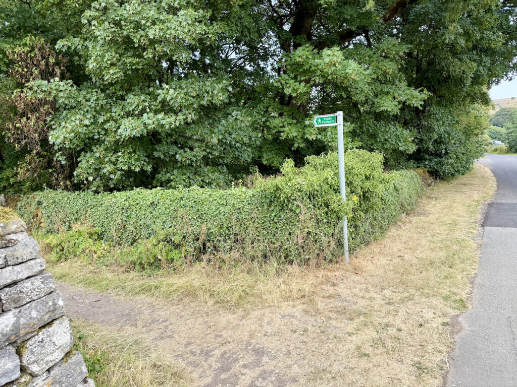
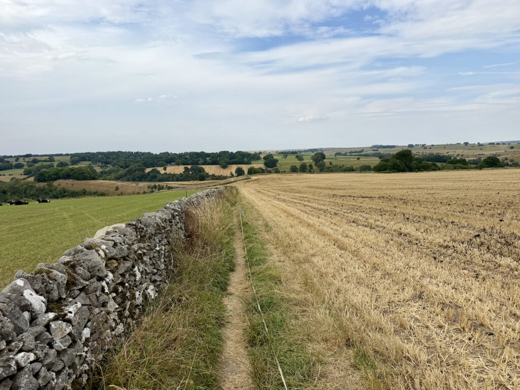
Just past the camp site there is a public footpath to your left. Follow the path and it brings you out at a farm. Keeping the farm to your left follow the path across some fields (there is a rope bit where the owner is asking you to keep tight to the wall). Continue along and drop down, then take a right and follow the path along, this will bring you out back at the Monsal Trail to the bridge at the start of the route. Take a left, crossing the bridge and follow the trail path back to the car park.
Hiking For A Healthier Mind: Chee Dale Wellbeing Ratings
| Wellbeing Factor | Rating |
|---|---|
| Quietness | ⭐⭐⭐ |
| Scenic Views | ⭐⭐⭐⭐ |
| Stress Relief | ⭐⭐⭐ |
| Physical Challenge | ⭐⭐⭐⭐ |
Where To Eat And Drink After Walking Chee Dale
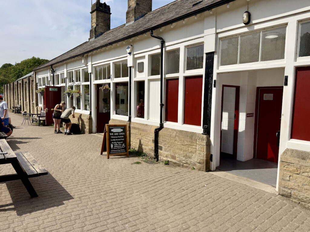
The Refreshment Room located at the Miller Dale car park is closest place for a quick refreshment following the walk. If you are looking for something more substantial then the Anglers Rest is the perfect location. A traditional pub, offering pub classics on the menu such as Fish & Chips or Steak and Ale Pie as well as others.
Pics From The Peaks: More Of Chee Dale From Miller’s Dale