Why Bleaklow is harder to navigate than you might think
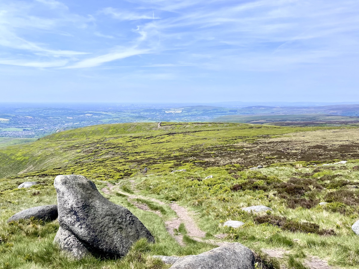
Bleaklow was my introduction to walking and hiking in the Peak District – and it really was an eye opener. It wasn’t my introduction to walking or hiking in general. Previously I had hiked plenty of fells and mountains, including Ben Nevis’ Mountain Path in Scotland and Helvellyn’s Striding Edge in the Lake District.
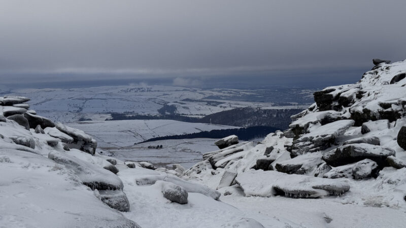
Now, the Peak District cannot compete with the size of mountains found across other popular UK hiking destinations — like Ben Nevis and Helvellyn. However, don’t be fooled into thinking it presents a much easier day out. For a start, the ground conditions vary considerably from those you are likely to find elsewhere. Bleaklow is probably the best example of that.
I remember clearly my first walk over Bleaklow’s moors – clearly is probably the wrong word to use, to be honest. The weather was superb when we first reached Bleaklow. However, less than an hour later, we found ourselves on the moors with visibility getting worse by the minute. On that same walk, we were following a well trodden path heading from Bleaklow towards Edale. All of a sudden with one step I found myself knee deep in a bog. It really did come out of nowhere, and it was difficult to wriggle free (and not lose my walking boot — luckily they were well-tied).

Why Is Bleaklow Difficult To Navigate?
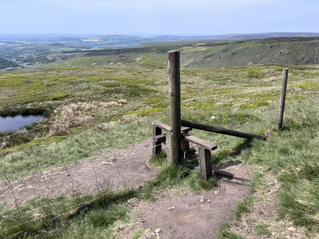
So what exactly is it that makes Bleaklow such a difficult place to navigate? We asked navigation expert Shane Feltham, founder of UK hiking site Coast & Fell, that exact question.
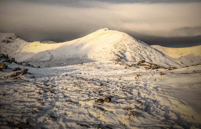
“On Bleaklow specifically, it’s the classic case of ground that’s harder to navigate than it looks,” Feltham explained. “On the map it’s a broad plateau, but underfoot it’s a maze of peat groughs with almost no landmarks to fix on”.

Navigation in general relies on landmarks, signs, or — for most of my directional requirements — pubs. I might be stating the obvious, but Bleaklow has a distinct lack of pubs, and it also lacks a lot of the other features that would usually assist navigating a hike.
“Most navigation relies on ‘handrails’ (a wall, stream or ridge to follow) and ‘catching features’ (something obvious beyond your target that tells you you’ve overshot),” Feltham told us. “Bleaklow gives you almost none, so it demands real compass work and pacing rather than following your nose, and in cloud that turns serious fast”.
Navigation Essentials
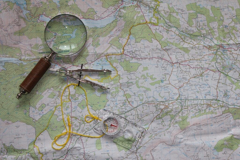
The essential kit according to our expert consists of several must-have items, including a paper OS map (Explorer OL1 Dark Peak) and a baseplate compass — “which on featureless ground are the primary tool, not a backup,” Feltham insists. You’ll also need a GPS app with offline maps plus what3words; and a power bank, as the cold and GPS both drain a phone quickly. “The beginner mistake is treating the phone as the whole plan, signal is patchy, batteries die in the cold, and a wet screen leaves you with nothing,” he explains.

Using this kit, you also need to adopt three simple habits which help make navigation less tricky: “Orient the map to the ground every time you look at it; follow handrails where they exist, and where they don’t (like Bleaklow) set a bearing and walk it; and keep your thumb on your position as you move,” he suggests. “The golden rule is to walk to a feature, not to the compass.”
If you want to learn more about the basics of navigation, check out Shane’s navigation basics for hikers on Coast and Fell.