Popular UK Hiking Terms And What They Mean

Britain’s mountains may not scrape the sky like the Alps or Rockies, but they punch well above their weight in character, weather, and vocabulary. Step onto a UK trail and you’ll soon hear walkers talk about “fells,” “tarns,” and “bwlchs” as if they’re discussing the day’s shopping list. To the uninitiated, it can sound like a foreign language — part poetry, part meteorological warning, part gentle brag. Yet these terms are the key to reading the land and planning your day in it.
From the craggy tors of Dartmoor to the knife-edge arêtes of Snowdonia, the British hills come with their own topographic shorthand, shaped by centuries of shepherds, climbers, and cartographers. Understanding the difference between a dale and a glen, or knowing why a bog is not to be trifled with, can mean the difference between a glorious summit day and an unexpectedly squelchy trudge back to the car.
In this guide, we unpack the most popular UK hiking terms — their meanings, origins, and why they still matter. Whether you’re plotting your first Munro or adding another trig point to your tally, you’ll soon be speaking fluent hillwalker.

So what are some of these popular terms associated with UK hiking and what exactly do they mean?
Landscape & Features
- Hillwalking
General UK term for walking in upland country, often including summits or rough terrain. - Rambling / Ramble
A more leisurely countryside walk. The original meaning of “ramble” meant aimless wander – although this term is fairly dated it is still used by groups of walkers such as The Ramblers Association. - Fell
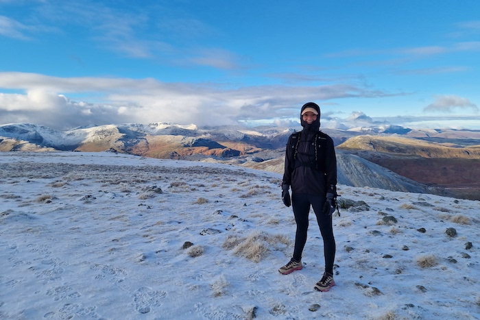
A hill or mountain. The term comes from Old Norse the medieval language of Norway, Denmark, Iceland and Sweden. Usually the term is applied to a mountain range or moorland and is especially common in the Lake District. - Tor
A high rock or rocky outcrop on a hilltop commonly used in the Peak District instead of the word hill, one of the most popular being Mam Tor. The word Tor comes from old Celtic language. - Ben
Specifically a Scottish term used to describe a mountain. A “ben” comes from the Gaelic word for mountain or hill. Without a doubt the most famous is Ben Nevis, located in the Scottish Highlands and also the highest Mountain in the UK. - Peak/Summit
The pointed top of a mountain or the highest point of a mountain. There are a couple of inconsistencies in the terminology. For example the highest mountain in the world is Mount Everest (8,848m) and the second highest mountain is K2 (8,611m). However Everest has the south summit (8,749m) separated from the main summit by a col but isn’t referred to as the second highest mountain. In contrast Scafell Pike (978m) is the highest mountain in England with the second highest being the neighbouring Scafell (964m). Again these two mountains are only separated by a col but this time Scafell is considered to be the second highest mountain in England. - Moor / Moorland
Open, uncultivated upland often covered in heather, sedge, and moss; common across UK uplands especially in places such as Scotland and The Peak District – especially The Dark Peak. - Dale / Glen
- Dale: A valley (especially in the North of England) e.g. Derbyshire Dales
- Glen: Especially used in Scotland for a narrow deep valley as opposed the a Dale which is generally a much broader more open valley.
- Tarn
A small mountain/hillside lake, often formed in a glacial basin – a popular example would be Red Tarn found on Helvellyn in the Lake District. - Cwm / Corrie / Cirque
A bowl-shaped, glaciated depression formed into the landscape. - Geo
A narrow inlet or gorge in coastal cliffs, especially common in the Shetland and Orkney Islands. They are formed primarily from wave erosion along lines of weakness in the rock such as joints and faults. - Crag
A steep rugged cliff or rock face which are naturally popular with climbers. Stanage Edge in the Peak District is a popular destination with climbers. - Bwlch / Breche / Col
- Bwlch (Welsh): A pass between hills
- Col / Breche / Notch: A low point or pass in a ridge that gives easier access between valleys.
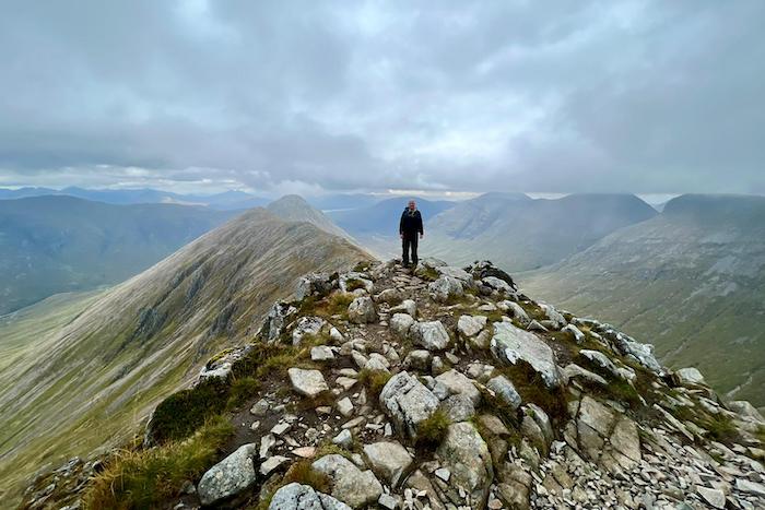
- Arete
A sharp, narrow ridge of rock, formed by glacial erosion—e.g. Crib Goch in Wales. - Leave no trace
A simple but vital principle for anyone exploring the UK’s wild spaces. It means enjoying the mountains, moors, and trails without leaving any sign of your visit behind. In practice, that means taking all litter home, sticking to established paths to protect fragile habitats, avoiding damage to plants and wildlife, and being considerate of other people and landowners.
Trail Markers & Path Types
- Cairn
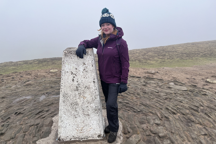
Put simply a Cairn is a man-made pile of stones (in various shapes and sizes) that are generally used for navigational purposes. Usually found close to the summit of hills for example Ben Nevis the highest mountain in the UK has a Cairn at the trig point but also several smaller ones lower down to assist with navigation in poor weather. - Trig Point
A concrete surveying pillar found atop many UK hills; usually at the highest point and were used by Ordinance Survey from 1936 to find out the shape of Great Britain. - Fingerpost
A post with directional pointers (“fingers”), commonly seen in the UK in just about any everyday situation. They are used to direct walkers/hikers on trails and often include the distance to the destination in which it is directing the user. - Blaze
A painted marker—on trees or rocks—used to indicate the route. - Bridleway
A public right-of-way allowing pedestrians, cyclists, and horse riders — but excluding motor vehicles. Originally a bridleway was created for horse riders, however these days they are serve a wider range of users such as hikers and cyclists.
Ground & Underfoot

- Bog
Wet, muddy peat ground—frequently found in UK uplands. Anyone hiking in the Peak District will know this one all too well. Be prepared to test your navigation skills out when encountering this type of terrain –it can be slow going and unpleasant. - Scree
Loose stones or rock debris accumulated on slopes from rockfall. Hikers should always be extra careful on this type of ground as there is an increased likelihood of slips, trips or falls. We would always recommend having hiking poles available to assist navigating scree sections. - Limestone pavement
A flat limestone surface made up of clints (flat slabs) separated by grykes (vertical cracks between the slabs). Limestone pavement was created during the ice age by the scouring action of ice sheets which exposed the limestone beds with acidic rain-water since dissolving the limestone which widened the cracks. - Knoll / Dodd / Bottom / Comb / Brae
Various terms for hills and valley features:- Knoll: small rounded hill
- Dodd: a bare hill with rounded top
- Bottom: broad, level area lower in a valley
- Comb: side of a rounded hill
- Brae: hill slope or upland
- Freeze/Thaw Cycles
The repeated process where water seeps into cracks, freezes and thaws, causing gradual but significant cracking and weathering of rocks, soil, and materials like concrete. The cycle is defined by temperature fluctuations around the freezing point (0°C or 32°F).
Styles & Techniques
- Scramble / Scrambling
Ascending steep terrain using hands and feet—but not technical climbing. Takes you beyond ordinary walking. - Exposure
A path or ridge that feels “exposed”—i.e., a fall could be serious due to height or steep drop. - Peak Bagging / Munro-Bagging
- Peak Bagging: Aiming to summit a number of peaks in a list or by area.
- Munro: A Scottish mountain over 3,000 ft; “bagging Munros” is a popular UK goal. At time of publishing the fastest time to complete all 282 Munros is 31 days, 10 hours and 27 minutes – recorded by Jamie Aarons in June 2023.
- Naismith’s Rule
Devised by Scottish mountaineer William Naismith in 1892 this time-planning rule states to allow 1 hour per 3 miles (5 km) plus 1 hour for every 2,000 ft (600 m) ascent. This rule assumes a reasonable fitness level and typical hiking conditions.
Shelter & Route Planning
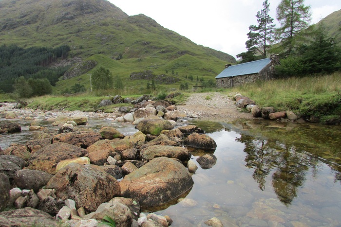
- Bothy
A small, unlocked hut or cottage used as free refuge, particularly in remote parts of Scotland, Northern England, and Wales. Think; the very basics with no water, electricity or gas supply. Providing hikers with basic shelter from the elements and a place to sleep for the night – often hikers completing multi-day hikes plan routes make use of these shelters. - Bivouac (Bivi) / Bivy Sack
Bivy Sack: Minimalist waterproof cover for sleeping bags, used as lightweight shelter