Mam Tor & Castleton via Edale
Moderate
5 hours
13.84km
What is covered in this article
- Where is Mam Tor?
- Why choose this route?
- Travelling to Edale
- Facilities
- What kit will I need?
- How difficult is this route?
- Route description
- Where is good for food and drink?
Where is Mam Tor?
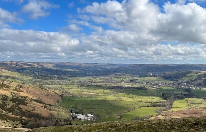
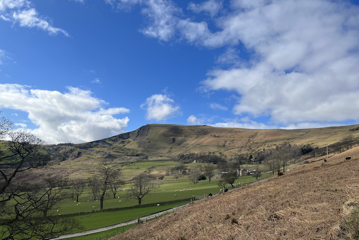
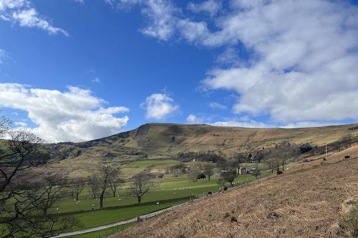
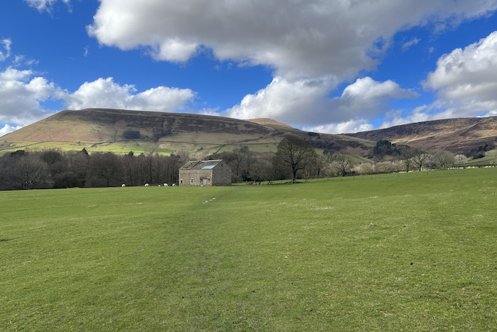
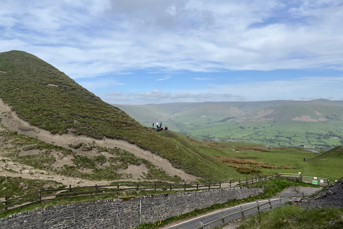
Mam Tor is a 517m hill near Castleton in the Peak District National Park. The name means ‘mother hill’ and this must-do walk attracts thousands of visitors every year.
This route begins in the neighbouring village of Edale and takes you through Castleton. There are several canyons surrounding Mam Tor such as Peak Cavern, Blue John Cavern, Speedwell Cavern and Treak Cavern.
Why choose this route?
Starting out from Edale this route has a variety of options. The full route takes you from Edale to Mam Tor, there is an option to head to the summit prior to descending towards Castleton. Or you can keep going towards Castleton with plenty of stunning scenery.
Castleton has several canyons that you can visit if you are making a day of things and there are several pubs and gift shops in the village centre.
Travelling to Edale
If you are travelling by car we suggest getting there early especially if the weather is good. Parking is available but with 138 spaces is limited which means they fill up quickly. Current pricing for anything over 4 hours but a maximum of 10 hours is £6. We advise checking for the latest updates on parking in Edale here.
Edale train station is at the heart of this route and is a half hour journey from Sheffield and only 40 minutes from Manchester Piccadilly via train.
Facilities
Edale car park has toilet facilities available between 8am and 6pm. There are also two cafes within five minutes of the station. We stopped at the The Fold for a breakfast which is open from 09:00 until 17:00 and is just a few minutes from the train station. The Penny Pot cafe at the train station does a selection of pastries, pasties, light lunch options and cakes.
What kit will I need?
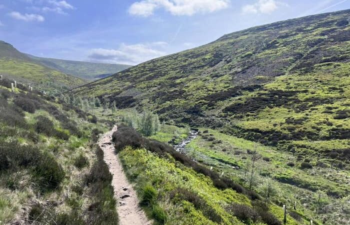
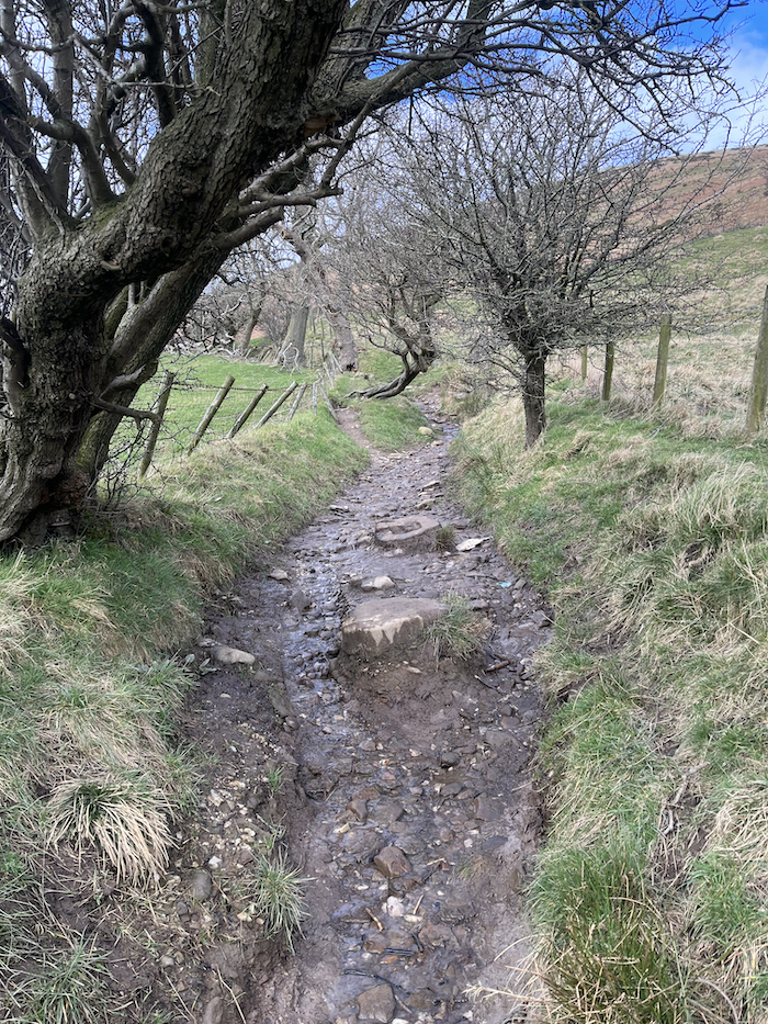
The route up Mam Tor can be very muddy and slippery underfoot especially following bad weather so a good pair of walking boots are required. We suggest taking the following kit as standard:
- Comfortable walking boots (ensure they have been worn in first)
- A day pack for additional clothing and refreshments
- First Aid kit
- Good quality waterproof jacket & trousers
- Warm hat & gloves (weather dependant)
- Any additional equipment you feel you require such as walking poles etc
How difficult is this route?
Mam Tor from Edale is a great walk with plenty of stunning scenery. Depending on your fitness levels and what particular route you take it is manageable within 3-5 hours. The route is also child friendly but obviously depending on their age and walking experience be sure to allow enough time to complete the walk safely. If you have a four-legged friend wanting to come along too they will love it.
As with all walks be sure to know what the weather is doing. This walk will change dramatically and should not be undertaken in poor weather conditions.
Route Description
- Exit Edale train station and head down Marys Ln away from the village and toward the main car park.
- At the T-junction take a right onto Edale Road, a short way along turn left towards Hardenclough Farm.
- Follow the track across the river and past the farm which will be on your right.
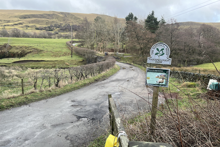
- Continue along, the lane bends left across the stream and winds back to the right.
- At the entrance to Greenlands there is a gate to your left. Once through the gate make an immediate right turn, following the signpost for ‘Mam Tor’
Shortcut to Mam Tor
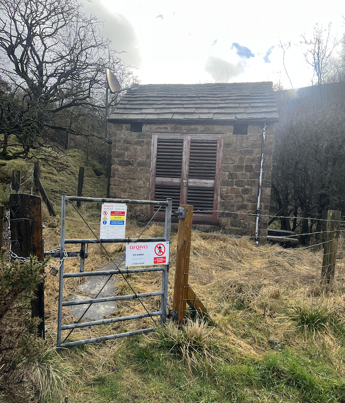
- Follow the bridleway which bends left and right, passing a small stone utility building. (The bridleway can get very boggy).
- After awhile you will reach a gate which exits onto the road below Mam Nick.
- Instead keep left of the gate and follow a narrow path. The path will lead you to the bottom of the paved path leading to Mam Tor. (Taking this path will significantly reduce the walk).
Heading to Speedwell Cavern
- Ignoring the shortcut to Mam Tor continue along the path. Continue straight ahead through the gate and down a sloping field towards the road.
- Crossing the road continue ahead along the footpath towards a small quarry. Turn left just before the quarry past the entrance to Windy Knoll Cave and down towards the road.
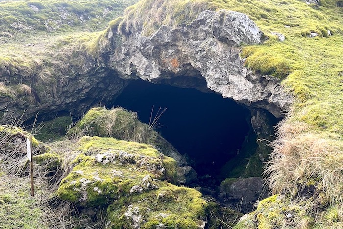
- Cross the road and follow the path straight ahead keeping the farm directly to the right. (There is an opportunity after crossing the road to follow a path down to the left which leads to Blue John Cavern).
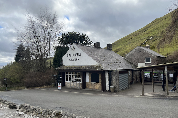
- Ignoring the detour to Blue John Caverngo straight ahead to the top of Winnats Pass. Follow the gorge down as far as Speedwell Cavern.
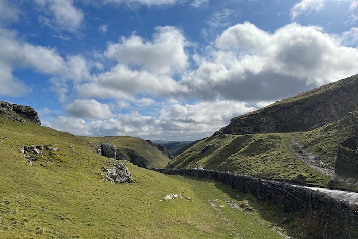
Exploring Castleton
- Just past the cavern cross over the road and take a right through a gate and follow the footpath along the foot of Long Cliff.
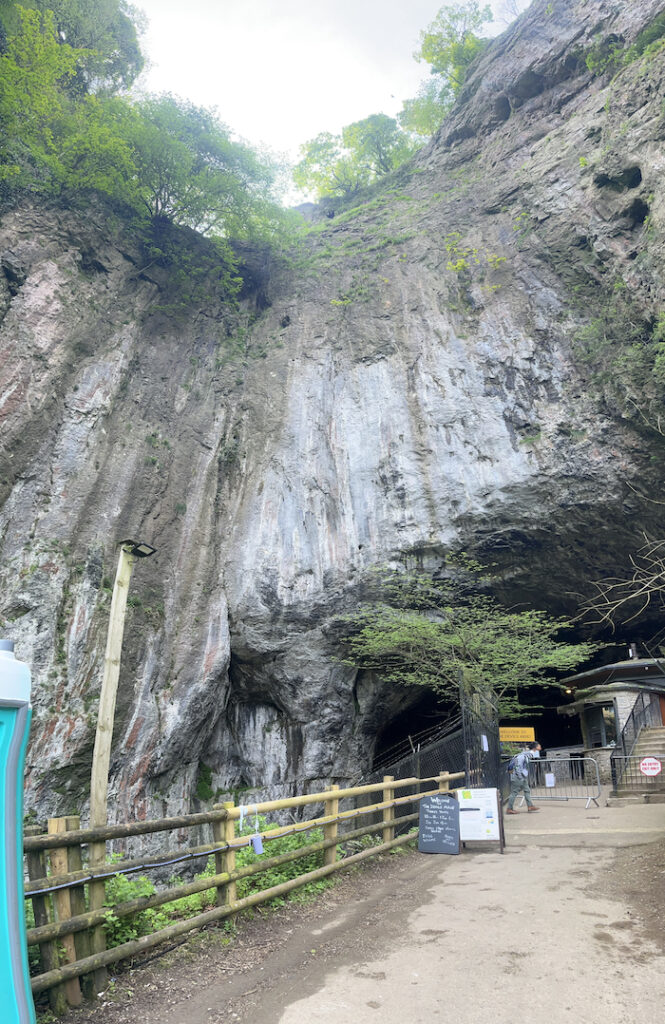
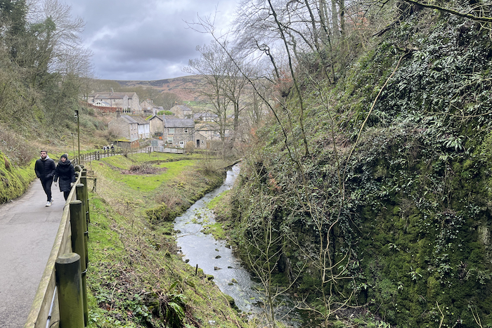
- Exit the footpath onto a lane in Castleton. Follow the lane down to your first right, before the bridge crossing the stream take a right and head towards Peak Cavern.
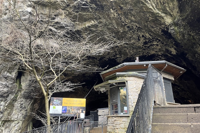
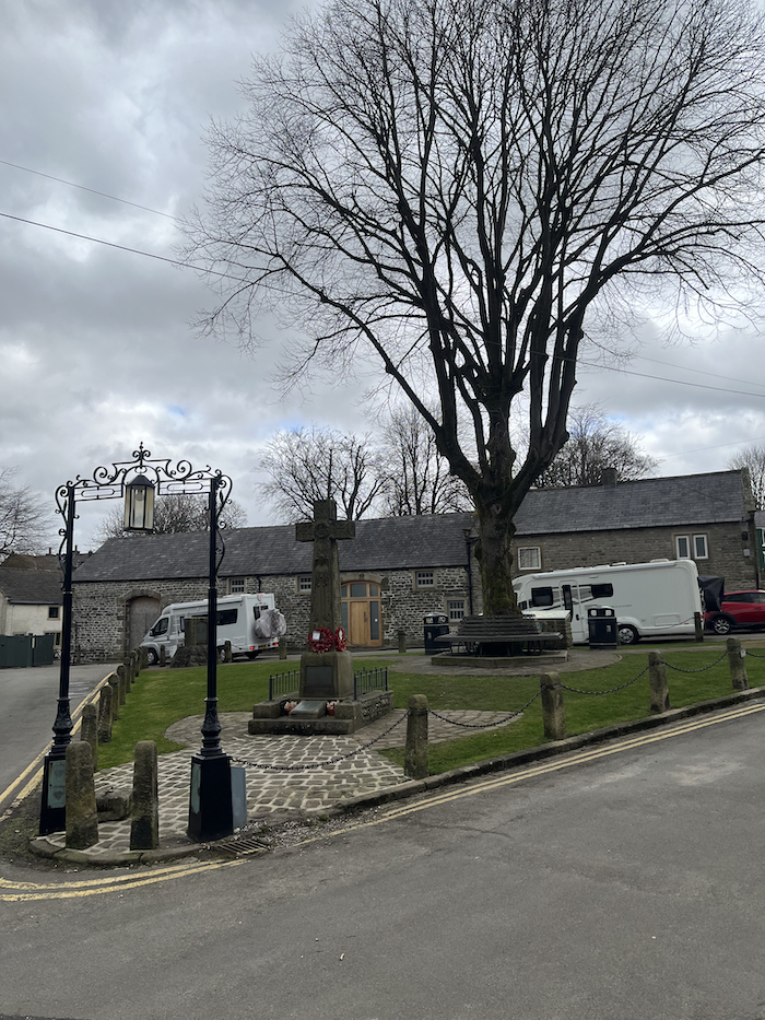
- After inspecting the cave entrance retrace your steps back along the footpath next to the stream. Back at the bridge cross over and follow the road up towards the War Memorial.
- Take a left along Back Street and continue past the church.
- There are several pubs around for refreshments plus gift shops.
- At the main road continue ahead past the Primary School. As the road bends right go straight ahead into Millbridge.
Another chance for Mam Tor summit
- Follow the lane between the houses and exit the village.
- After approximately one mile the lane ends at the entrance to Woodseats Farm (The Liggate). From here there is a tree-lined bridleway directly ahead of you.
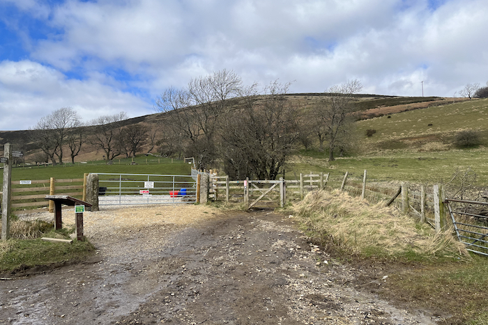
- On reaching open country, turn half-left and follow the obvious path angling up the hillside.
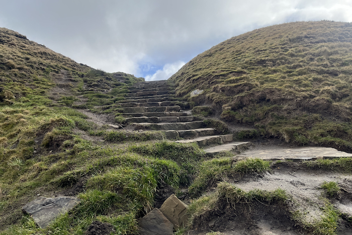
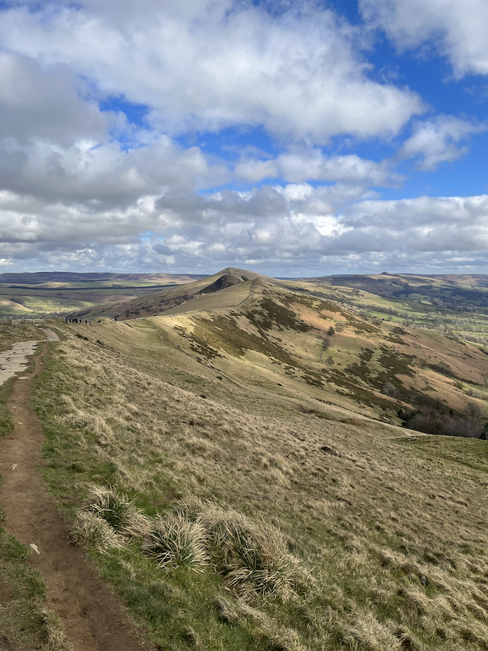
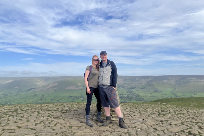
- At the top of the ridge (Hollins Cross) turn left and follow the paved path towards the summit of Mam Tor.
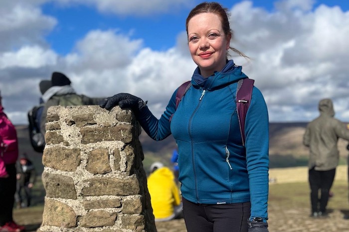
Hollins Cross
- From the summit head back to the top of the ridge at Hollins Cross.
- Take a left down the path which descends steeply towards Edale.
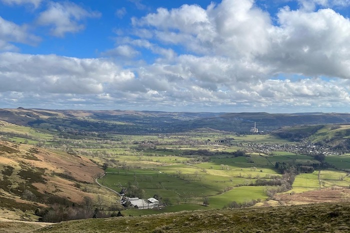
- At a fork, take the right path along a wall.
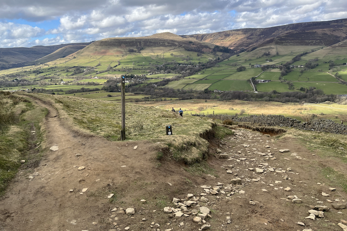
- At Hollins farm, keep left crossing a short boardwalk and down a flight of steps.
- Join the farm track and follow it downhill and over the river.
- A short path on the left leads up the road; cross over and follow a fieldside path to a squeeze stile, then cross diagonally to pass under the railway bridge.
- Turn left at the end of the next field and pass to the right of a stone barn.
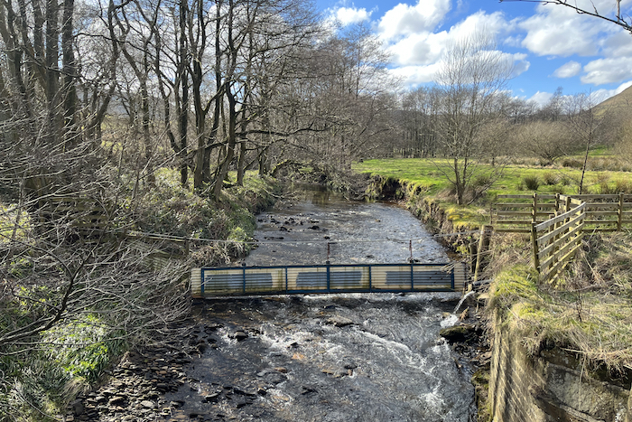
- Follow the part-paved path beyond, to a track.
- Turn left over Grinds Brook, then right onto a short stepped path up to the lychgate.
Where is good for food and drink?
Upon reaching the lychgate take a right and head past the church towards the village to The Old Nags Head, a traditional country inn situated in a building dating back to 1577, which also boasts two cottages looking over the beautiful Edale countryside if you’re looking for accommodation.
Serving excellent home cooked food, and and having been voted in the top 20 country pubs in the UK by The Times, this hikers bar is also the official starting point of the Pennine Way.
The main menu has a selection of light bites including nachos and loaded fries, alongside jacket potatoes and baguettes (£7.95, served 12pm – 5pm), as well as freshly made 12″ pizzas (from £8.90).
There’s a range of burgers and pub classics if you’re after something heartier, including homemade pies and several meat-free and gluten-free options. Our pick, though, has to be the Pick ‘n’ Mix Sausage menu. It’s simple. Pick a sausage, pick a mash and then pick a gravy or sauce to go with it all.
There is also a specials board available to look at. On our visit we opted for braised lamb shank with buttery mash and seasonal veg and were not disappointed.
The wine list includes several available by the glass, while the beers include a selection from local breweries as well as their own Nags 1577 dark ale.

Gallery



Related articles
- Kinder Scout via Edale

