Pendle Hill via Barley
Moderate
3-4 hours
5 miles
Where is Pendle Hill?
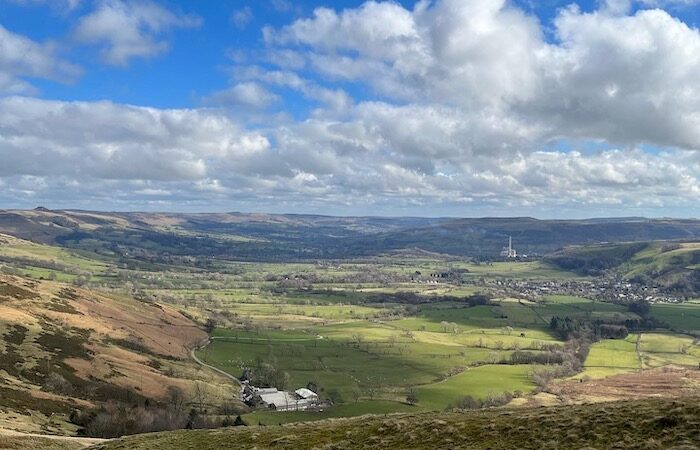
Pendle Hill is a great way to spend a few hours of your day. Situated in the East Lancashire region of England, this circular route provides stunning views and a great walk.
Pendle itself is well known for the story of the Pendle witches but on a clear day this beautiful location will provide stunning views right across the North West.
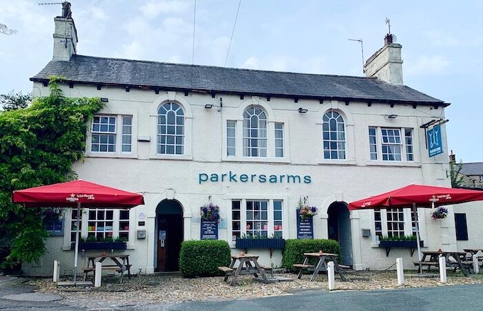
The start and finish of this walk is from Barley – there are two pubs in the village, The Pendle Inn and Barley Mow.
A village full of intrigue and witchcraft
Pendle Hill rises above several villages filled with stories of intrigue and witchcraft. The Pendle Witches lived in the early 1600s at a time of religious persecution and superstition.
Stories about the Pendle witches are world famous and as a result the village attracts thousands of people each year.
Many novels have been written about the world famous Pendle Witches but reality in this case turns out to be stranger than fiction.
Pendle Hill circular route
We parked up in the Barley picnic site and car park which costs £3 for anything over 3 hours and has cafe and toilet facilities on hand too.
To start the walk exit the car park onto the pavement and walk towards the cross roads. Cross over the road and go straight ahead following the lane signed “Barley Green”.

Follow the road around, ignore the footpath that leads up a rocky incline to your right and go through the gate and continue down the lane.
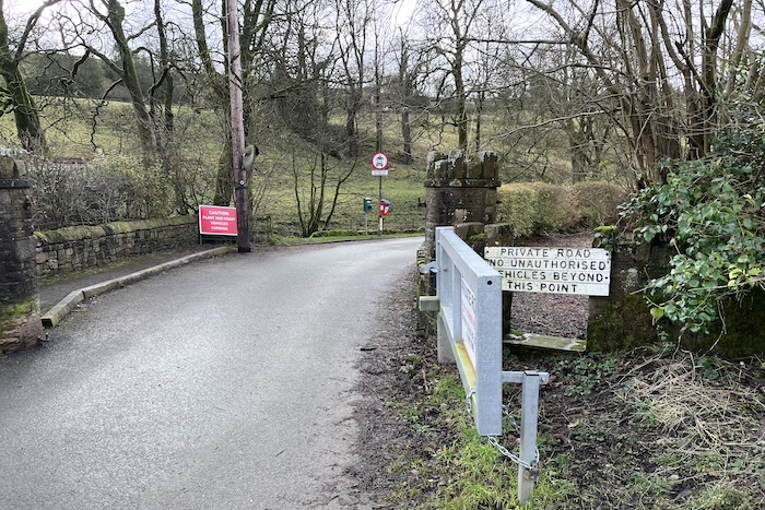
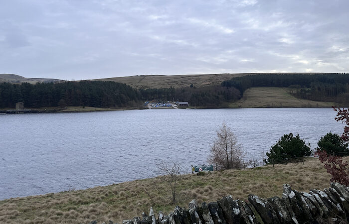
The lane will shortly rise steeply towards Lower Ogden Reservoir which will be on your left as you approach.
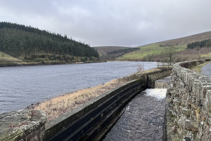
Keep on the track down the right side of the reservoir, you will cross a cattle grid as it heads towards Ogden Clough, with views over the water to Fell Wood.
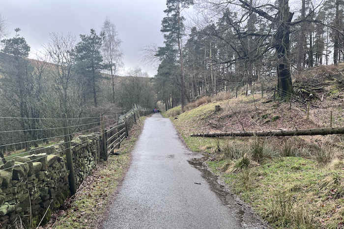
Just past Lower Ogden Reservoir, the path is joined by the Pendle Way.
Here the track starts to climb, it then levels off again and enters partial tree cover. The track then descends towards the base of Upper Ogden Reservoir.
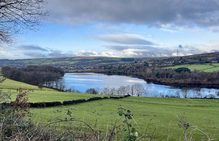
Pass over the stile by a metal gate, and head up to the start of the reservoir.
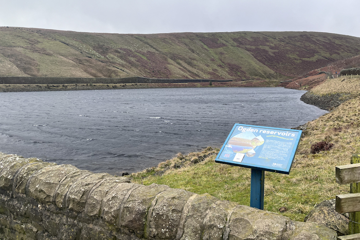
Follow the yellow arrow markers directing you down the right side of the reservoir and along a slightly boggy path hugging the reservoir next to a fence.

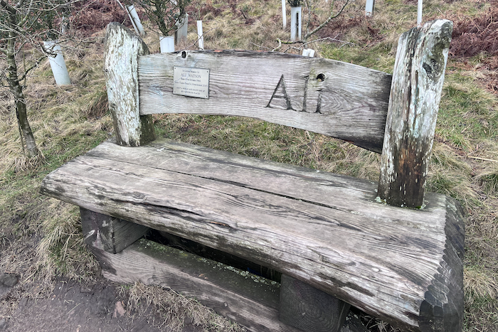
Here you can take the time to enjoy the views on offer on a beautiful bench provided by the family of hillwalker Ali Watson with the plaque reading ‘rest awhile and enjoy one of his favourite places’.
Shortly you will pass through a wooden kissing gate and follow the path along the side of the wall, before climbing to Ogden Clough.
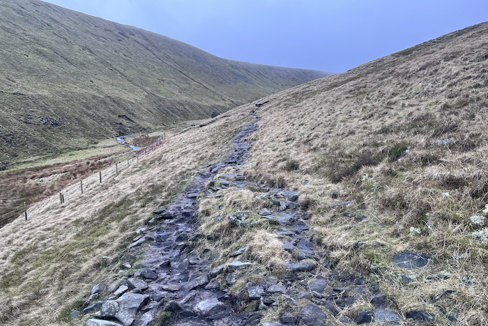
The path from here is grassy underfoot as you continue along towards a wooden gate in a wall.
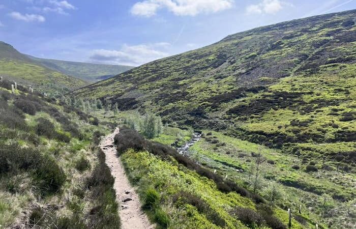
Head through the gate, and continue diagonally right up a stony path. Soon the path descends to a small stream.
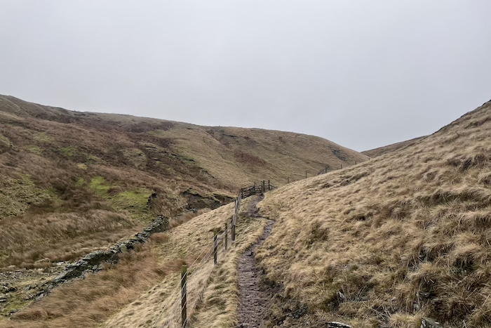
Turn right up the hill, initially the path is quite sketchy, soon you will reach a wooden way-marker.
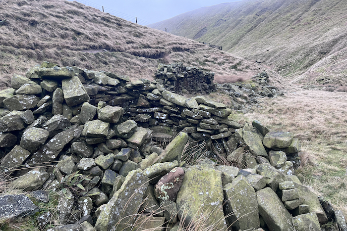
Keep heading in the same direction past the way-marker, the path makes its way across to Boar Clough. Continues along as it starts to gently climb and is marked along the way by small cairns.
Shortly you cross over a stream and head up a short steep ascent.
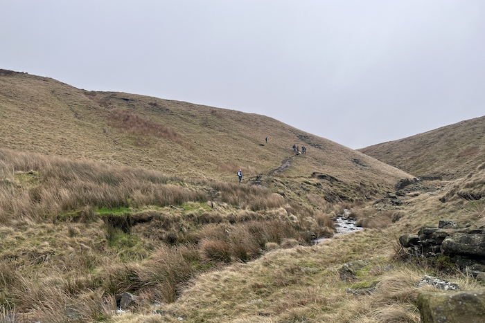
At the top of the ascent you will see the marker directing you straight ahead towards the summit. Here you are also able to take the path to the left which heads towards Nick of Pendle.
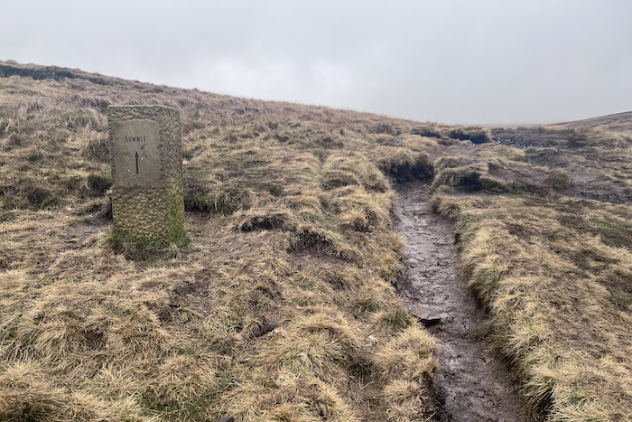
Continue straight ahead, along a path that is boggy and fairly narrow.
You will follow this path along for approximately a mile before reaching another summit marker directing you back across the stream and through the metal gate.
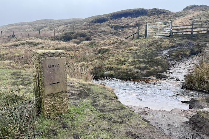
Follow the path up to the summit – hopefully you get a good day and can spend some time admiring the views. We weren’t so lucky on this trip but it was still a really good walk.
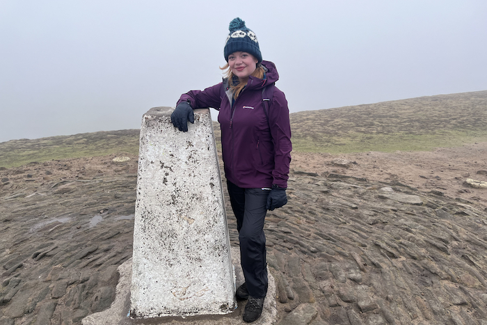
As you approach the trig point there are paths to both the left and right. Once ready to set off again take the path to the left.
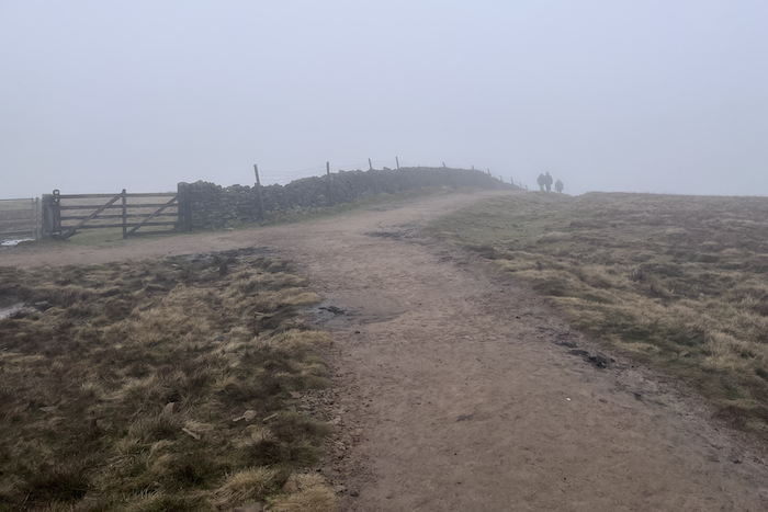
Follow this down where you shortly meet a wall with a gate. Do not go through the gate, instead follow the path down to the right keeping the wall on your left.
A short while further you reach the Pendle Way guide post – take a right here and follow the path as it starts to descend.
The descent becomes much steeper shortly, before turning into man-made steps.

Eventually as the descent levels out a little, it bends around to the left and takes you through a wooden kissing gate.
Here you will find cafe refreshments if required, if not just follow the yellow arrow diagonally to the right and across a field, keeping the large tree on your left which is close to the farm buildings.
There is a fence surrounding the tree which you need to pass by, and then pass through the wooden kissing gate, by the side of a larger wooden gate.
Continue the gradual descent through the field along the side of the left hand wall, and pass through the kissing gate. Head diagonally right across the field, passing the telegraph pole and then through another kissing gate, and continue along the path towards another kissing gate in the wall. Head through this, then turn left by the side of the wall along the gravelled path, passing through another kissing gate.
Once through the gate, take the immediate right turn along the track towards a couple of cottages, turning left just before you reach them through a kissing gate and heading straight down the lane for a few yards. Then take the path heading straight past a large tree – ignore the lane to your left which goes over a cattle grid.
Continue along the gravelled path, along the wall on your left, and you’ll pass through another kissing gate as you continue the gradual descent. The path winds through a field before passing through yet another kissing gate, and soon over a wooden footbridge.
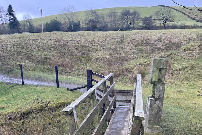
Under the overhanging trees, the path becomes enclosed by fences, becoming cobbled as you head down the side of the line of conifers.
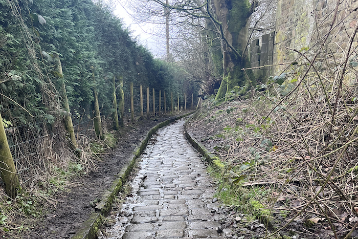
At the end of this cobbled section, The Pendle Inn and Barley Mow are to your right. If you aren’t stopping for refreshments then the car park is only a few minutes away.


