Get easier, faster and better route planning on OS Maps – here’s how
In 2017, Ordnance Survey introduced the snap-to-path tool in OS Maps for Great Britain’s national parks to help walkers and cyclists quickly and easily plot routes. The tool soon became one of its most-used features.
Now, the development team have announced the exciting launch of snap-to-paths for the whole of Great Britain in response to users’ requests for the tool to be rolled out nationally.
How to choose the right map for you – the experts at Ordnance Survey share their tips

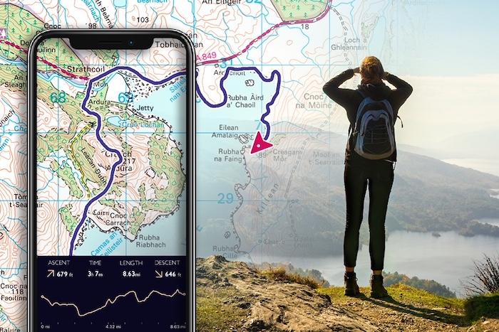
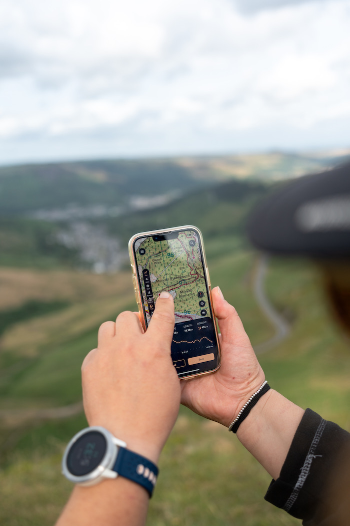
Snap-to-path is a helpful tool which automatically ‘snaps’ a route you’re plotting to include suggested paths, tracks and roads. It means you don’t have to trace out every detail of your route by drawing hundreds of straight lines; instead, just click two points on the map, and a route between them will be calculated automatically.
The tool, which can easily be switched on and off, is already getting positive feedback, and in the first two weeks over 60,000 users have already enabled the feature.
“The users of OS Maps asked, and we listened,” said Nicole Frith, OS Maps product manager. “That’s why we’ve made snap-to-path available across Great Britain as well as supporting users of the app internationally.
“At OS we put the customer first and on hearing the feedback and requirements of our half million users of OS Maps, we’ve delivered an enhanced offering which will encourage many more outdoor adventures.”
The improved route plotting experience will not only make it quicker and easier to plot routes, but also provide users with more accurate information on distance and time, a key component and essential when planning any walk or ride that ensures the outdoors is enjoyed safely but also made more accessible to everyone.

“Alongside the snap-to-path tool we have also released additional educational in-app dialogues within OS Maps,” said Nicole.
“This important information will help remind users of the Countryside Code and to respect and protect the British countryside, as well as safety tips and important things to look out for when walking or navigating the great outdoors.
“We want to make the outdoors enjoyable, accessible and safe and the new releases in OS Maps tick all the boxes in terms of functionality and ease of use.”
Find out more about OS Maps snap-to-path here.